- Direct message
- Share
- prev
- next

-
About program
Master Of Science Program In Remote Sensing Science And Technology - National Central University
-
Level of Study :
Master -
Fields of Study :
Information and communication technologies, Marine Sciences, Natural sciences & mathematics -
Language of Instruction :
Above 90% taught in English - More information >
- Application-link >
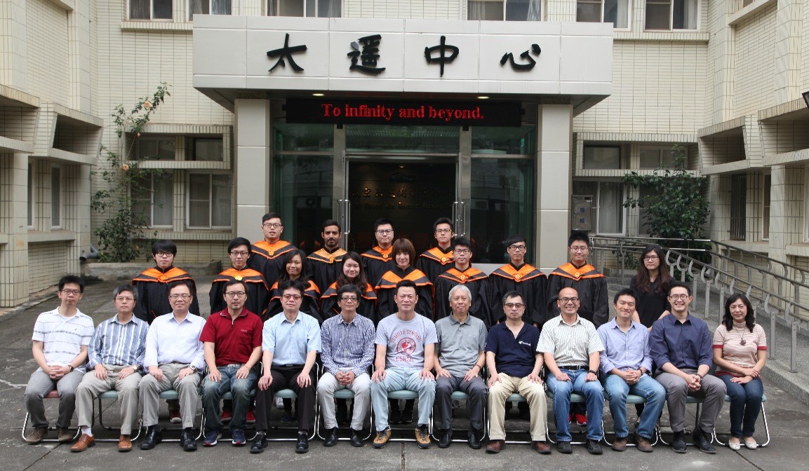
The Center for Space and Remote Sensing Research was established in 1984 at the National Central University. Since 2008, the Master of Science Program in Remote Sensing Science and Technology has started for those people who desire advanced specialization in this field in order to further enhance and broaden personal intelligence and technology in remote sensing.
Remote sensing is a profound indication of technology development and advancement in a modern country. The Master of Science Program in Remote Sensing Science and Technology offered at the Center for Space and Remote Sensing Research of the National Central University is the first of its kind in Taiwan, specifically designed for remote sensing education and research.
The program consists of two groups: the Remote Sensing Group and the Geoinformatics Group.
- The Remote Sensing Group focuses on the fundamentals of remote sensing science and application development, including active and passive remote sensing data acquisition, processing, and analysis.
- The Geoinformatics Group researches and applies the 3S technology (Remote Sensing, Geographic Information Systems, and Global Navigation Satellite Systems) on various fields, including photogrammetric imagery processing, land cover change detection, unmanned aerial vehicle (UAV) mapping, Internet-of-Things-based smart city, big geospatial data management, Web-based GIS techniques, navigation and mobile applications, etc.